Road repaving and bike lanes

in the Mayor’s most recent email update she wrote,
“Across the City, we’ve already repaved 47 miles of roadway (of our 300 total miles) over the past three years”

does anyone know how many miles of bike lanes were added as part of this repaving work???

DPW should be striping bike lanes if there is enough width whenever roads are re-paved. but they don’t.

the CAP update says that Newton:
installed 4.3 miles of bike lane at NSHS, Walnut St., Comm. Ave Nahanton St., Braeland Ave., Washington St., (2019)
Installed0.4milesofbikelane-HagenRd.,CraftsSt. (2020)

that’s not very much in 2 years out of 47 miles of repaving.

A better metric might be to measure bicycle accommodations for major/minor arterials only, where the coverage per paved mile ought to be very high. We generally don’t expect bicycle accommodations on local roads (Hagen and Braeland were good exceptions here!)

Is there a metric that we can use in the city to determine what is a good
percentage of bike accommodations per mile of work? If the city is going to
measure miles, and we know that roads requiring bike accommodations make up
X miles, shouldn’t we have some percentage level of how many new bike lanes
(ideally protected) should be added per repaved mile?

1 Like

Width of street and loss of street parking are always going to be two of the primary reasons, if not THE primary reasons, that bike lanes can’t be installed.

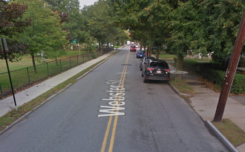
Turns out there are a bunch of 24-26’ wide streets in Newton. (I could be wrong, but I thought there was a 24’ minimum in the Newton ordinances.)

That’s a wide street when there’s no or infrequent parking, but it’s not wide enough in most cases to add bike lanes, much less a protected bike facility. We could narrow the street (or selective parts of it) for traffic calming, but you’ll still not get a dedicated bike facility, plus you’ll pay a lot for moving curbs.

On a much smaller number of streets we might have the width to add a bike lane, but only if we pull parking. That’s a hard sell for any streets, particularly residential, that aren’t high volume bike routes. An extra indignity is that these streets may also not all have accessible sidewalks. If there’s a funding or a space tradeoff between sidewalks and a bike facility on a street, I think our legal and civil rights obligation is to provide accessibility first.

Protected lanes are even harder to pull off because they need minimum of about 12’ including a buffer. On streets with buses and cross streets, design gets quite complicated. Even trash pickup is tricky to figure out. Finally, the safety record for these kinds of protected facilities with cross streets is still up for debate. They feel safer, but the data is mixed.

That doesn’t mean we can’t do better. We can. We should. But it isn’t just a matter of the city refusing to. There are significant challenges in design and implementation. We also don’t have much of a grassroots organization to push such a thing through by popular will alone.

On the other hand, traffic calming benefits everyone, improves motorist behavior and the chance for survivability of peds and bicyclists in case of a crash, and can be implemented in many more locations than can bike facilities by themselves. We need for more resources for traffic calming in Newton. We also need more local organization, education, and rallying to get hazardous streets fixed.

Mike is not wrong here, but we also have parking on those 24’ wide streets, I use the example of Webster in West Newton. I mean you have a 3’ travel lane on one side when it is parked up, which is is frequently.

This is where advisory lanes need to be tried.

Do we have the data on street widths from the GIS data? I have never asked…

The Alta Advisory Bike Lanes guide outlines the FHWA experimentation guidance. You could do a 16’ shared travel lane with 8’ parking. You might even be able to chicane it.

https://altago.com/wp-content/uploads/Advisory-Bike-Lanes-In-North-America_Alta-Planning-Design-White-Paper.pdf#page=10

This would work. However:

  • It’s an experimental facility, and Newton says it doesn’t have the staff to do the required observations.
  • More critically, it’s not clear an advisory bike lane, possibly next to parking, is the kind of facility that will increase the number of riders who are confident enough to ride on the roads.

I think it might increase it some, and it probably slows traffic some. Derby St. is now close to advisory bike lane configuration, without the edge markers. There are more people using the roadway. But I don’t see a lot of kids doing it, for instance.

100%, I mean you would still remove the parking, but the Dutch use that lane in limited circumstances and I don’t expect we would either. The focus must be our 32’ roads and bigger, 10’ lanes 2’ buffer 4’ lane at minimum is doable.

Anyway…

My point on road repaving was that it would be a good opportunity to add bike infrastructure at that time but DPW doesn’t do it-they put back the status quo.

The elephant in the living room is that the city, by it’s actions, privileges parking and motorist convenience over bicyclists’ safety, despite policies to the contrary. (example: bike lanes end abruptly and bikes are forced to merge into the traffic lane in order to preserve parking or add turn lanes-see Beacon St in Newton Centre or in front of Cold Spring Park, where the city refuses to remove parking because of the farmers market. ). Removing parking costs very little money and, unlike roadway width, can be changed without major construction.

There are ways to deal with narrow roads in order to provide sidewalks and bike lanes where they are needed. You could do what John suggested using the Webster St example. Another way is make critical narrow streets one way for cars, two way for bikes and put sidewalks on both sides (example Hammond St-which is the only way to get to the Chestnut Hill T station).

John, can you clarify what you’d suggest for the 24’ cross section? FHWA says no more than 18’ for the shared lane.

Hi Mike,

Well for the 24’ roads, you can do painted 4 or 5’ lanes either side, with a 14’-16’ shared lane in the middle as part of a yield street…or you could do a 7-8’ parking lane chicaned and a 16-17’ shared travel lane which is what happens on my road in Newtonville, this would have no specific bike facilities. There are some options to play with curb but that gets pricy…

If the city does not have staff to implement a yield street and the DOT requirements you could do 2.5" fog lines on both sides with 9.5 travel lanes, again it does depend on the flexibility the city has in dealing with these exceptions.

Something like Derby, which is 23’ by a school: I think the options switch to block diverting, or at the very least pinch points with bike bypass, or speed pillows that allow bikes and fire equipment to not deal with them…or even one-way with two way options for bikes…